Blue Flag partners with CitiesWithNature initiative

Have you ever heard of a “Blue Flag beach”? Of course you have! The iconic Blue Flag is one of the world’s most recognized voluntary awards for beaches, marinas, and sustainable boating tourism operators. 

We are proud to announce that Blue Flag has joined the global CitiesWithNature partnership initiative! 

Image provided by: Blue Flag

Coastal zones are critical areas, not only to provide livelihoods and recreational opportunities, but because they serve as immensely important buffer areas to sea level rise, deadly floods and storm surges, while also providing essential, safe havens and breeding grounds for many fish species and countless other organisms, plants and animals. Blue Flag, founded by the Foundation for Environmental Education (FEE), will actively work with CitiesWithNature to promote nature conservation activities across its networks.

“We know that we can achieve more together than separately and will strive to make the most of our collaboration as we implement solutions for people and the planet.”

To qualify for the Blue Flag, a series of stringent environmental, educational, safety, and accessibility criteria must be met and maintained. The beach must comply with laws and/or regulations pertaining to issues related to coastal zone planning, environmental management, wastewater management, environmental conservation, and others in order to receive and maintain Blue Flag status.


With this awards system, the mission of Blue Flag is to promote sustainability in the tourism sector, through environmental education, environmental protection and other sustainable development practices. As a result of Blue Flag and its partnerships, more than 5,000 beaches, marinas and eco-tourism boats are concretely contributing to the sustainable development goals. Blue Flag also campaigns against disparity, inequality, unemployment, health threats, depletion of natural resources, environmental threats, pollution and general environmental degradation. Find out more about Blue Flag’s efforts to contribute to the Sustainable Development Goals  here


In addition to its role in maintaining coastal ecosystems, FEE is also a recognized world leader within the fields of Environmental Education and Education for Sustainable Development. Through its three youth-focused educational programs, Eco-Schools, Learning about Forests (LEAF), and Young Reporters for the Environment (YRE), the organization uses a solutions-based pedagogical approach to empower young people to create a more environmentally conscious world. 


As an international umbrella organization, FEE has over 100 members in 81 countries and has its Global Secretariat in Copenhagen, Denmark. Through this partnership, CitiesWithNature and Blue Flag will work towards bringing even more unique and tailor-made technical services, reporting mechanisms, capacity-building and funding opportunities – specifically in the field of coastal management – to our collective Blue Flag and CitiesWitNature cities and towns globally. 

“We are so pleased to welcome the highly respected global Blue Flag programme into the CitiesWithNature initiative, demonstrating our shared commitment to work with subnational and local governments in coastal cities to ensure that we live, act and plan with nature. This partnership provides a unique opportunity for urban communities and their governments to rise to the challenge and take ownership of our precious shores, committing to renewed action as part of this important Decade on Ecosystem Restoration.”

This new partnership comes right on time, with world leaders recognising and adopting an action-oriented Political Declaration to save the ocean from existing and future threats, including marine pollution, harmful fishing practices, biodiversity loss, and acidification at the 2022 UN Oceans Conference in Lisbon – co-hosted by Kenya and Portugal in June this year at the onset of the United Nations Decade of Oceans Science for Sustainable Development (2021-2030).

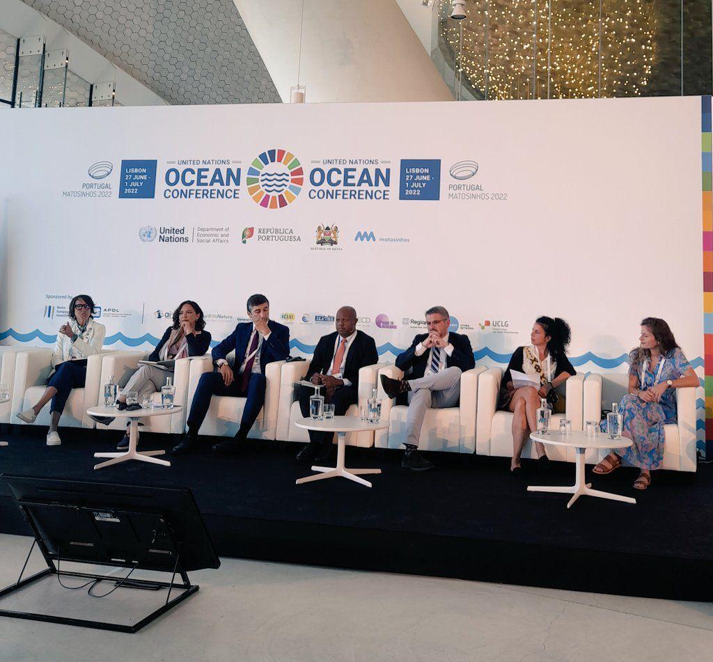
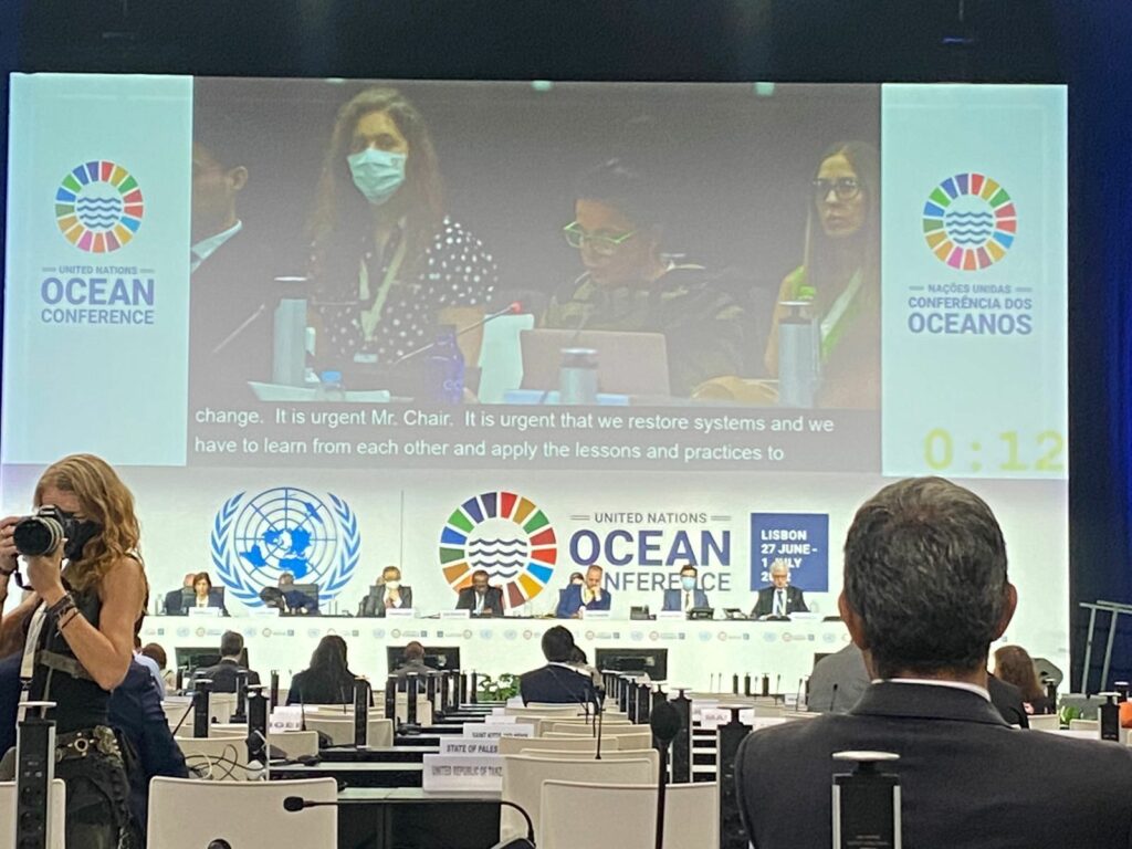
The UN Ocean Conference, co-hosted by the Governments of Kenya and Portugal, took place between 27 June and 1 July 2022 in Lisbon, Portugal, and culminated in delegates adopting a political declaration titled ‘Our Ocean, Our Future, Our Responsibility’. 

The conference brought together national and local governments, UN agencies, and multiple stakeholders across different sectors to explore and identify solutions aimed at finding major structural transformations and common shared solutions, to be anchored in the SDGs. 

Under the theme ‘Scaling up ocean action based on science and innovation for the implementation of Goal 14: stocktaking, partnerships and solutions’, discussions focused on leveraging interlinkages between Sustainable Development Goal 14 (SDG 14 – Conserve and sustainably use the oceans, seas and marine resources for sustainable development) and other SDGs towards the implementation of the 2030 Agenda for Sustainable Development. Throughout the conference, the linkages between SDG 14 and goals related to clean water and sanitation, poverty, food security, health, women, decent work, climate action, cities, terrestrial ecosystems, and partnerships were emphasized.

Svg Vector Icons : http://www.onlinewebfonts.com/icon

Jessie Turner, Director of the International Alliance to Combat Ocean Acidification (OA Alliance) captured the importance of urgent action for oceans: “When talking about climate change impacts on our ocean, we must be clear that while we don’t know everything, we know enough to act. We know enough to begin prioritizing and exploring the key questions that are most important to policy makers, seafood industries and coastal communities. And the good news is…we have lots of existing frameworks across different scales of governance that can be leveraged to take up this work.”

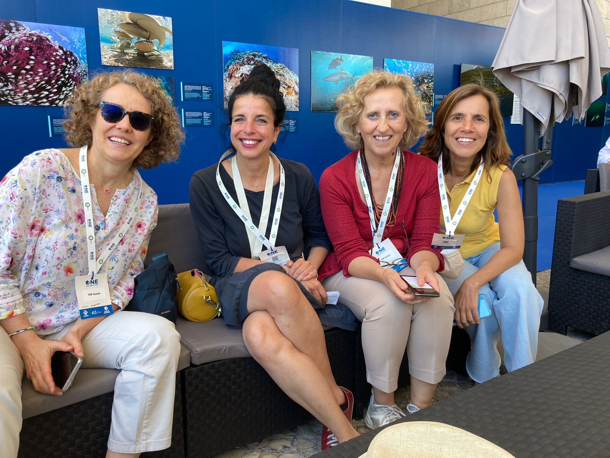
ICLEI – Local Governments for Sustainability and ICLEI’s Cities Biodiversity Center was represented by Kate Strachan – Manager, Climate Change Resilience, ICLEI Africa, and Stefania Romano – Global Coordinator for CitiesWithNature and RegionsWithNature, Recruitment and Advocacy.

During an interactive dialogue titled ‘Leveraging interlinkages between Sustainable Development Goal 14 and other Goals towards the implementation of the 2030 Agenda’, ICLEI emphasized the need for cities to learn from one another and apply these lessons and practices to protect, manage and restore vulnerable urban coastal ecosystems. To achieve this, CitiesWithNature and RegionsWithNature are international partnership initiatives providing a platform to connect local and subnational governments globally with NGOs, experts and communities to act for nature.

By 2025, nearly 6 billion people will live within 200 km of a coastline. Population growth and climate change-related impacts are increasing coastal risks and degrading coastal ecosystems upon which millions depend. Climate change impacts also compound existing pressures, such as pollution from land-based sources, ocean acidification and overfishing. Coastal cities and regions have unique opportunities to mobilize and demonstrate leadership in taking action to protect our ocean and ensure that the ocean and its accompanying coast are sustainably managed.

Svg Vector Icons : http://www.onlinewebfonts.com/icon

“It has never been as urgent as it is today to restore damaged ecosystems,” Stefania said. “SDG 14 offers a great opportunity to advance ocean sustainability globally and address current and emerging threats.” The goal is underpinned by targets addressing the conservation and sustainable use of the ocean, seas and marine resources – including coastal zones – and capacity building for ocean governance. In addition, SDG 14 supports the achievement of SDGs related to poverty alleviation, food security, sustainable blue/ocean economy, and climate change. 

ICLEI was involved in a number of sessions and played a role in bringing to the forefront the role of subnational governments in ocean governance. As evident during the conference, both national and subnational governments are leading the way, taking domestic and international actions that expand climate-ocean policy and financing for this work.

Organizations and partnership initiatives such as ICLEI, CitiesWithNature and RegionsWithNature can facilitate learning from coastal city leaders, while simultaneously seeking deeper integration across climate, ocean and biodiversity commitments. These efforts will advance actions that address climate change, support food security and sovereignty, and increase resilience of marine ecosystems, economies, and communities.  

Despite the delays in pivotal ocean and climate convenings and benchmarks as a result of Covid-19 restrictions, the UN Oceans conference sparked momentum once again, through the notable outcome of the 2022 UN Oceans Conference – the ‘Our Ocean, Our Future, Our Responsibility’ declaration. 

Matosinhos side-event

Prior to the official Conference, a Special Event on ‘Localizing Ocean Action’ was held in Matosinhos (Porto) on 25 of July, convened by the co-hosts of the 2022 UN Ocean Conference, together with the City of Matosinhos, and organized in collaboration with UN DESA, UN Global Compact, the Climate Champions Team, the Global Taskforce of Local and Regional Governments, ICLEI, Regions4 Sustainable Development, Ocean & Climate Platform (OCP), United Cities and Local Governments (UCLG), Resilient Cities Network, the International Association of Cities & Ports (AIVP) and OECD. The special session highlighted urban-ocean linkages, specifically around marine plastic pollution, blue finance, local community development, human rights-based approaches towards transformation, and SDG 14 and the Post-2020 Global Biodiversity Framework. The special event also covered the role of local and regional governments to engage in global efforts and decisions to protect the ocean and maritime resources. The outcomes from the special event were conveyed during the main UN Ocean Conference.  

ICLEI and the OCP co-organized Local Ocean Action Session 1, titled ‘The clock is ticking: How can coastal cities build resilience and incorporate nature-based solutions to protect local populations?’ This session focused on the importance of investing in innovative sustainable solutions, particularly nature-based ones, to combat the impacts of climate change, such as flooding, coastal erosion and rising sea levels. Speakers were invited to share innovative practices implemented by cities and regions. The panel was moderated by Kate Strachan, while Stefania Romano presented CitiesWithNature and RegionsWithNature as the Convention on Biological Diversity-recognized international partnership initiatives providing a platform and connecting local and subnational governments acting for nature. The side-event resulted in the Municipality of Matosinhos joining CitiesWithNature.

Session key messages included

  • Coastal territories adaptation has to be considered at a larger territorial scale. From megalopolis to secondary cities and small towns, the more vulnerable urban areas have to collaborate at the regional scale to better design sustainable coastal adaptation strategies. It is crucial to reinforce cooperation at every level and encourage a “whole-of-society” approach.
  • Climate coastal adaptation is changing towards a new sustainable paradigm. There is no one-fit-all solution. Managed retreat, nature-based solutions, hard and soft coastal protection, technical innovations, early warning systems, raising awareness, and education are all relevant responses that have to be combined, considering the local context. 
  • Key coastal stakeholders all have to be engaged in the global coastal transition for a sustainable blue economy, a well-adapted coastline and an equitable future. Local decision makers, populations, civil society, ports, tourism sector and privates should all be part of a co-construction process. 
  • Coastal adaptation and resilience has to include societal issues. Many communities have a difficult time securing funds and techniques for equitable coastal resilience. Targeting youth and women in terms of livelihood, coastal adaptation might be an opportunity to reduce poverty and social inequalities.

ICLEI in collaboration with Regions4, the Government of Catalonia, UCLG, and the Global Taskforce of Local and Regional Governments co-organized session 3: ‘Strengthening Cooperation, Building Innovative Governance Approaches to protect the ocean. Finding solutions to the complex and multi-dimensional sustainability challenges faced by coastal areas, which are aggravated by climate change, requires an inclusive and innovative governance approach. Building on the previous sessions that focused on impacts and finance, this session focused on governance as a core condition for the implementation of SDG14. 

Session key messages included

  • Local and regional governments have been leading in developing effective solutions through local public service provision, partnerships and initiatives that include and support fishers, and local populations and their know-how and experience must be harnessed to protect our oceans.
  • Co-management approaches among different spheres of government and actors trigger a culture of collaboration and trust thus enabling an ecosystem-based management. These approaches can in turn permeate to other sectors.
  • The achievement of sustainable small-scale fisheries calls for inclusive and participatory governance arrangements, at all levels. This entails meaningful participation, taking into account and addressing existing power imbalances, strengthening stakeholder organizations, such as small-scale fisheries organizations and supporting dialogue and peer learning.
  • Close collaboration among actors must be backed by scientifically recognized data, all facilitated by impartial elements that ensure accountability and transparent, informed and fair processes.
  • The capacity of local and regional governments in building sustainable management models needs to be strengthened. Particularly, the capacity of SIDS and their cities and regions to respond to global challenges in light of increased ocean and sea degradation.
  • Local and regional governments are willing to join the decision-making table on biodiversity and ecosystem conservation, convening a powerful voice one the global agendas, while promoting opportunities for peer-learning, exchange of experiences and scale-up of effective practices.

Forests sequester about one third of greenhouse gas emissions, yet only a handful of U.S. communities include trees in GHG inventories.


Washington, D.C. (August 19, 2019)
 – Today, ICLEI–Local Governments for Sustainability USA (ICLEI) unveiled new guidance that enables U.S. cities and counties to include forests and trees within their greenhouse gas (GHG) emissions accounting, a key activity to ensure representation of local forestry and land use consideration in climate action planning. Developed in partnership with the Woods Hole Research Center and World Resources Institute (WRI), and funded by Climate and Land Use Alliance (CLUA) and Doris Duke Charitable Foundation, the Forest and Land Use Appendix to ICLEI’s U.S. Community Protocol for Accounting and Reporting of Greenhouse Gas Emissions will help fill a critical gap in enabling communities to develop climate action related to land management at a local level.

Forests and trees sequester about a third of the greenhouse gas emissions that humans emit every year; however, a study conducted by ICLEI showed that 60 percent of U.S. community respondents did not include forests or trees in their greenhouse gas inventories due to a lack of guidance on how to do so.

“Failing to include forest and trees within U.S. climate action plans — which serve as such a critical component to meeting global climate mitigation goals — simply due to lack of available guidance was a huge missed opportunity,” said Angie Fyfe, Executive Director, ICLEI USA. “The U.S. has some of the best data on land use, we couldn’t let limited expertise on how to put these numbers together be the cause for inaction.”

More than 3,500 people have downloaded The U.S. Community Protocol since 2012. The Forest and Land Use Appendix of the Protocol provides, for the first time, guidance to U.S. communities for estimating the emissions and removals from forests. The Appendix also considers “trees outside forests”, including urban trees and trees in croplands, which are often overlooked in national assessments.

The protocol was piloted with Montgomery County, Maryland; Los Angeles County, California; and Whatcom County, Washington; representing the dramatic spectrum of climate and land cover across the country.

“Montgomery County jumped at the opportunity to explore the sequestration benefits associated with trees and forests,” said Marc Elrich, County Executive, Montgomery County, Maryland. “Given our aggressive GHG reduction goals of 80 percent by 2027 and carbon neutrality by 2035, increased sequestration must be in the mix of strategies we employ. The new protocol also has prompted us to think more deeply about natural climate solutions ranging from reducing the heat-island effect to increasing sequestration in the agricultural sector.”

“The protocol provides a baseline for communities to start acknowledging the climate benefits that come from leaving forests and trees standing, increasing tree canopy cover in cities and incorporating trees into agricultural landscapes,” said Nancy Harris, Forest Program Research Manager at World Resources Institute and co-author of the protocol. “Having this guidance at a sub-state level is critical, given most decisions around land use are made at a very local scale.”

ICLEI USA has revised its ClearPath GHG emissions management software tool with new calculators that will allow communities to develop GHG inventories with land use in mind from the outset and is encouraging its member communities to see the new guidance to consider how forests and trees can be integrated into climate action plans.

Download the U.S. Community Protocol for Accounting and Reporting of Greenhouse Gas Emissions

With the release of the Intergovernmental Science-Policy Platform on Biodiversity and Ecosystem Services (IPBES) global assessment, it is increasingly clear that biodiversity and natural ecosystems play a crucial role in maintaining the health of the planet, particularly in the face of climate change.

The natural environment provides many valuable and free services that contribute directly to human well-being and livelihoods. In a rapidly urbanizing world, cities and their surrounding areas will play a key role in leading action to protect the natural ecosystems that support to human life and vibrant economies.

Recent history has seen the large-scale replacement of natural ecosystems with built up areas, putting cities and their surroundings under increased pressure in terms of resource scarcity, degraded air and water quality, and reduced green space. But this does not have to be the case – local and regional governments are already working to mainstream biodiversity planning into local policies and ensure that the natural ecosystems that support human life are protected.

Natural asset mapping is a first step towards raising awareness of the critical role that nature and natural ecosystems play in supporting healthy and balanced urban life. It is also a key step for local governments to take in order to integrate ecosystem management into urban planning.

How natural asset mapping works

Dar es Salaam in Tanzania is one of nine cities that has worked with ICLEI to map its natural assets through the INTERACT-Bio project. This project supports expanding urban communities in the Global South to improve the utilization and management of nature while providing them with nature-based solutions and associated long-term benefits.

These cities used a two-step methodology for the mapping process. First, high-resolution remotely sensed spatial data was acquired from the European Space Agency’s Sentinel 2 mission and the project team worked closely with GeoTerraImage to develop land cover classes that highlight areas which provide ecosystem services, such as wetlands, mangroves, grasslands and woody vegetation. This analysis resulted in a detailed baseline spatial dataset that defines 12 different classes of landcover and can be used to generate a variety of mapping outputs and analytics.

The second step combines the data and information generated from the remote natural asset mapping process with local spatial information about urban nature features and the state that they are in, scientific studies and a deliberately participatory and iterative process to gather input from local experts and city officials.

Through natural asset mapping that combines customized earth observation data and information with input from local experts and stakeholders, local governments can make informed decisions about managing and investing in green space and green and blue infrastructure that enhances resilience and nature-based development.


The value of nature in Dar es Salaam

Dar es Salaam has many important natural areas that support the city and its people. Its natural assets range from beaches, rivers, mangroves, coastal and Afromontane forests to wildlife such as birds, bats, monkeys, rich marine life, and coastal plants and animals.

With careful planning, these natural resources can be protected, enhanced and even expanded to sustainably provide many benefits. These include enhanced fresh water provision, food, timber, jobs, cooling of the city, reduced air pollution, protection against natural disasters, opportunities for tourism, recreation and relaxation, and a sense of place.

During the mapping process in Dar es Salaam, city representatives and local experts identified challenges such as dwindling green open spaces, over exploitation of natural resources like indigenous trees and urban heat island effect as key priorities for the city to address.

The natural asset mapping pulled on local knowledge and research and yielded a collection of thematic and explanatory maps that make the case for the importance of green open space in the city and establishing a record which the city can work from to develop policy and practice.

The strength of this approach is that the maps can be overlaid to expose areas where investment in greening can deliver and optimize desired benefits, such as cooling and air pollution reduction.

This approach also highlights potential partnerships. For example, the transport sector implements greening as well as the City Council. The maps identifies areas where these sectors can collaborate and co-invest their greening budgets to optimize urban ecosystem benefits.

A summary document with key maps and information, with policy and action recommendations was developed as a tool that will support they city in making strong arguments for investing in urban nature and nature-based solutions.

The thematic mapping also formed the basis for the development of an illustrated poster of Dar es Salaam that show the natural assets in the city in an attractive and accessible format. The purpose is to create awareness of the presence and value of nature in cities and to inspire officials and the public to protect and benefit from urban nature.

This article originally appeared on CityTalk, a blog by ICLEI.